Connecticut GIS Day 2023

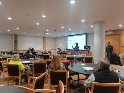
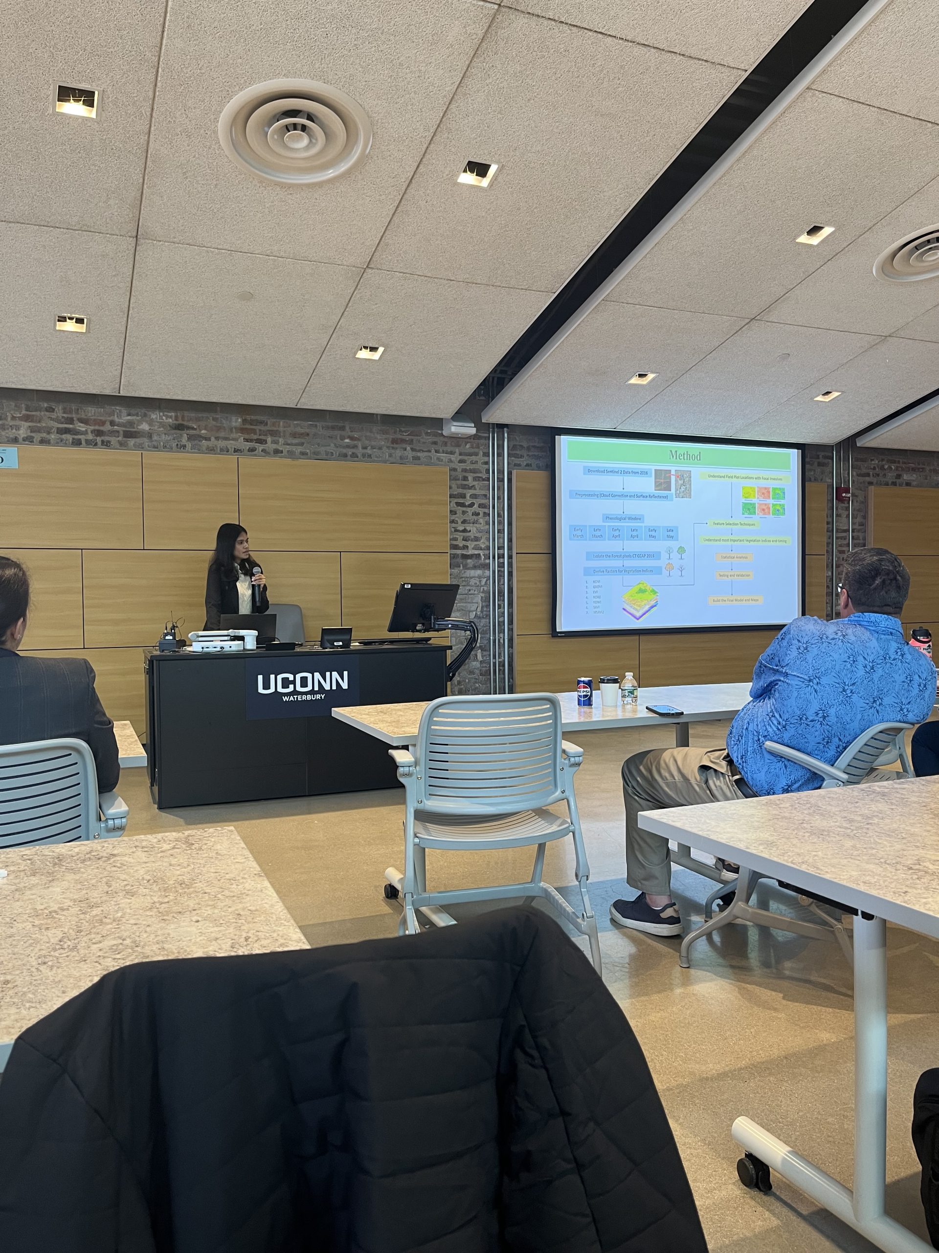
This year, GIS Day 2023 took place at the UConn Waterbury Campus, providing participants with a platform to share their ideas and findings. The event proved to be an opportunity for collaboration and networking within a multidisciplinary community. An oral presentation was conducted to share research findings and demonstrate the utilization of a 10m final map product. The presentation was centered around the theme, “Seeing the Unseen: Mapping Invasive Understory Plants in Connecticut Forests Using Multitemporal Satellite Imagery.”

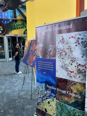
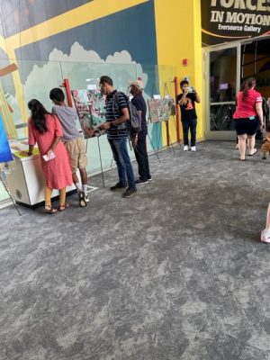
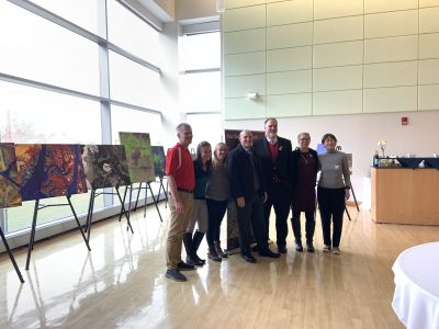
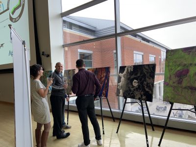
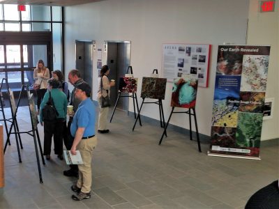
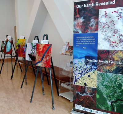
Earth as Art by Connecticut Science Center

July 2023

In recognition of Latino Conservation Week, the Connecticut Science Center and UConn Extension Urban and Community Forestry Program have joined forces to provide a unique learning opportunity for teens and their families to discover potential job paths related to conservation and environmental science. Interactive, bilingual sessions will foster an enjoyable and meaningful experience for all generations, and local organizations will be present with fun activities and information.

Connecticut Land Conservation Conference

April 2023

Connecticut Land Conservation Conference (CLCC) is organized by Connecticut Land Conservation Council. CLCC 2023 provided a valuable opportunity for learning and networking among land conservation enthusiasts from diverse locations. The conference, which attracted over 500 attendees, facilitated knowledge exchange and collaboration. Dr. Witharana’s lab also played an active role by hosting a workshop on the topic of “Satellite Imagery Mapping of Invasive Understory Plants”.

NRCA Conservation Ambassador Program

Summer 2023

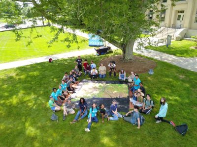
The Natural Resources Conservation Academy (NRCA) Conservation Ambassador Program offers high school students a fantastic opportunity to engage with the outdoors and become community innovator. This program includes a summer field experience at UConn, where students delve into environmental topics through fun, hands-on activities.

ConnecticutView Presents at 4-H Adventures in S.T.E.M.

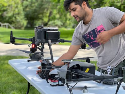
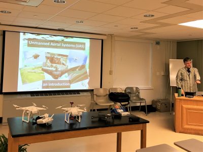
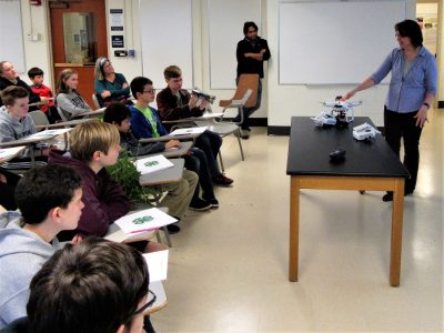
On Saturday, November 3rd, ConnecticutView Director Chandi Witharana, Program Coordinator James Hurd, and PhD Graduate Student Nancy Marek provided an hour long presentation and discussion on the use of Unmanned Aerial Systems (UAS) technology in natural resources research to 23 middle school and high school students as part of the 4-H Adventures in S.T.E.M program at the University of Connecticut.

Webinar

Landsat & Sentinel-2: Satellite Based Sensors for Observation and Analysis of Connecticut’s Landscape 

Tuesday April 24, 2:00 – 3:00 pm

There is no shortage of available imagery to view the landscape of Connecticut, or any place in the world for that matter. Imagery comes in all types of spatial, spectral, radiometric and temporal resolutions, and each serves its purpose depending on the objectives of the person using it. The U.S. based Landsat series of multi-spectral satellite sensors has been collecting global imagery since 1972. A more recent satellite series, Sentinel-2, first launched in 2015 by the European Space Agency, is Landsat like and also provides global coverage. While these sensors may only provide moderate spatial resolution (10m – 60m) imagery, they are rich in spectral information, and together these satellites collect imagery over Connecticut at less than a seven-day interval. The best part, these data can be downloaded and used free. This webinar will briefly overview the Landsat and Sentinel-2 sensors, provide information about the images and how to download the data, and show examples of potential applications of this type of data in Connecticut using ArcGIS, along with some online resources for viewing the imagery.

Presenters: James Hurd, Research Associate, UConn, Dept. of NRE, Program Coordinator ConnecticutView and Chandi Witharana,Visiting Research Professor, UConn, Dept. of NRE, Director ConnecticutView 

Click here to register.
Updated LandsatLook Viewer, New Sentinel2Look Viewer Released

A new version of the LandsatLook Viewer is now available. This release represents a major redesign of the earlier LandsatLook Viewer. The update includes many new features, enhanced performance, and improved functional capabilities. Also, a new Sentinel2Look Viewer, which highlights one of the newest datasets available through a USGS partnership with the European Space Agency (ESA) is available. Both of these viewers have been developed to allow for quick and easy seamless visualization of all Landsat and Sentinel-2 images, respectively, held in the USGS/EROS archive at up to full resolution.
Along with new features and tool navigation, these updated viewers are optimized for use on mobile devices. Other features include a customizable display with easy export options to multiple file types and a ‘Print’ feature to create quick maps as PDFs.